
Industries We Serve
Oil and Gas
• Pipeline and refinery inspections, focusing on leak detection and corrosion via thermal and visual data.
• Flare stack and offshore platform monitoring, with NightSense enabling operations in low-light or remote areas.
• Environmental compliance audits, mapping spill risks and vegetation around infrastructure.
Construction and Infrastructure
• High-precision site surveying and topographic mapping, generating centimeter-accurate 2D orthomosaics and 3D models for planning and earthwork calculations using Pix4D and RTK-enhanced data.
• Progress tracking and volume measurements (e.g., stockpiles, excavations) through repeated flights, with AI analysis in Optelos to detect changes and anomalies.
• Structural inspections, including crack detection (down to 0.1 mm resolution) and thermal scans for heat loss or moisture issues.
• Safety compliance audits, such as identifying hazards on active sites via autonomous flights and digital twin visualizations.
Agriculture and Precision Farming
• Crop health monitoring through multispectral and thermal imaging to assess vegetation indices, irrigation efficiency, and stress factors.
• Precision mapping for field boundaries, yield estimation, and variable-rate application planning, with RTK accuracy ensuring reliable geofencing and data overlay.
• Pest and disease detection using AI models in Optelos to analyze imagery for early intervention.
• Livestock tracking and environmental assessments, including water source inspections, enhanced by night operations for minimal disturbance.
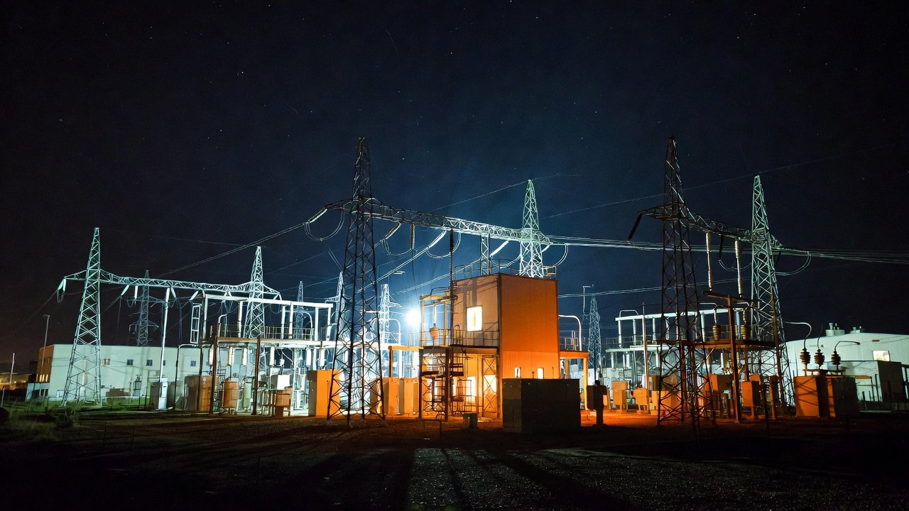
Energy and Utilities
• Power line, substation, and wind turbine inspections, identifying faults like broken insulators or overheating components via thermal radiometry (<30 mK sensitivity) and AI-automated defect detection.
• Pipeline and grid monitoring for leaks, corrosion, or vegetation encroachment, with 3D reconstructions for maintenance planning.
• Solar farm efficiency evaluations, detecting panel defects through thermal scans and high-resolution visuals.
• Emergency response assessments post-storms, utilizing NightSense for 24/7 operations in low-visibility conditions.
Telecommunications
• Cell tower and antenna inspections, capturing detailed imagery from safe standoff distances (e.g., license plates readable at 800 feet) to assess structural integrity and equipment status.
• Network infrastructure mapping, creating digital twins for asset management and upgrade planning.
• Fault localization using AI in Optelos to prioritize repairs based on annotated data from multiple flights.
Public Safety and Emergency Services
• Search and rescue operations, leveraging NightSense for zero-light autonomous flights and thermal imaging to locate individuals in challenging environments.
• Disaster damage assessments, such as post-earthquake or flood evaluations, with rapid 3D modeling in Pix4D for response coordination.
• Surveillance and perimeter monitoring, including real-time data streaming and geolocated reports for incident documentation.
• Hazardous material inspections, using thermal capabilities to detect anomalies without endangering personnel.
Mining and Quarrying
• Volumetric analysis of stockpiles and pits for inventory management, with RTK precision ensuring accurate calculations.
• Site mapping and terrain modeling to support operational planning and reclamation efforts.
• Safety inspections for slopes, equipment, and haul roads, enhanced by AI-driven risk identification in Optelos.
Environmental and Natural Resources
• Habitat and wildlife monitoring, including thermal scans for animal detection at night to minimize ecological impact.
• Forestry assessments for tree health, deforestation tracking, and carbon stock estimation via 3D photogrammetry.
• Pollution and water quality surveys, mapping affected areas with high-accuracy geolocation.
• Coastal erosion and land use studies, generating detailed models for regulatory compliance.
Real Estate and Property Management
• Property boundary surveying and site evaluations, producing accurate maps for development proposals.
• Building envelope inspections, identifying thermal inefficiencies or structural issues in commercial properties.
Manufacturing and Industrial Facilities
• Facility inspections for machinery, roofs, and storage areas, using autonomous flights to access hard-to-reach zones.
• Inventory auditing through 3D scans and digital twins, streamlining asset tracking.
• Quality control assessments, detecting defects in production lines via AI analysis.
Commercial Roofing and Building Maintenance
• Roof damage assessments, identifying leaks, wear, or insulation failures through thermal imaging and AI annotations.
• Facade and exterior inspections for high-rise structures, generating reports with prioritized repair recommendations.
• Pre- and post-storm evaluations to support insurance claims and restoration planning.
Transportation and Logistics
• Bridge, road, and railway inspections, detecting cracks or deformations with high-precision 3D models.
• Airport and port infrastructure monitoring, including runway assessments and asset mapping.
• Logistics site optimization, surveying warehouses or distribution centers for layout improvements.
To deliver these services, we can provide clients with customized outputs such as interactive digital twins, standardized reports, AI-generated dashboards, and secure data sharing via Optelos. Operational efficiencies include rapid deployment, two Skydio X10/D VT300-L drones (<40 seconds to deploy each drone), extended flight times (up to 40 minutes), and compliance with IP55-rated durability for harsh environments. FAA regulatory approvals may be required in specific jurisdictions, to ensure compliance prior to operations.